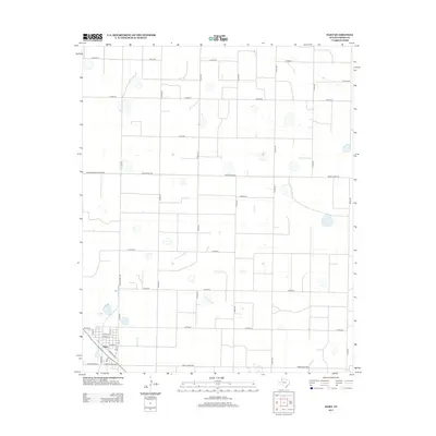
2012 Map of Hart
USGS Topo · Published 2012About this map
Hart centers this section of the Texas High Plains, showing a structured grid of agricultural land intersected by a network of ranch and county roads. The settlement is organized around a core street plan including Broadway, Avenue G, and Date St, reflecting the town's role as a local hub for the surrounding farm country. The importance of historical transportation to the area is evident in the presence of Railroad Ave, which runs parallel to the rail line through the southern edge of town. Outside the municipal center, the landscape is defined by long, straight thoroughfares like Ranch Road 928 and Ranch Road 145, which connect the scattered rural properties and irrigation basins typical of Castro County's intensive ranching and farming operations.
Find a feature on this map
33 named features on this map. Tap any name to fly to it.
Don’t see what you’re looking for? This feature index may not catch every label — zoom into the map to look around manually.
Map Details
Editions of this 2012 Hart Map
This is the sole edition of this map. No revisions or reprints were ever made.
Other maps of this area

1954 · Plainview
USGS Topo · 1:250,000

1954 · Clovis
USGS Topo · 1:250,000

1958 · Clovis
USGS Topo · 1:250,000

1958 · Plainview
USGS Topo · 1:250,000

1963 · Hart NW
USGS Topo · 1:24,000

1963 · Hart SW
USGS Topo · 1:24,000

1965 · Hart
USGS Topo · 1:24,000

1965 · Edmonson
USGS Topo · 1:24,000

1965 · Lakeview
USGS Topo · 1:24,000

1965 · Nazareth SW
USGS Topo · 1:24,000