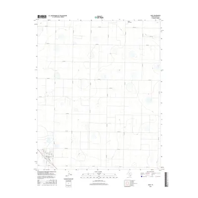
2016 Map of Hart
USGS Topo · Published 2016About this map
Hart occupies the southwest corner of this High Plains landscape, where the town’s grid is anchored by Main St and Railroad Ave. The surrounding terrain is defined by a dense network of county roads, such as Co Rd 621 and Co Rd 527, which carve the Panhandle landscape into a rigid geometric pattern of agricultural sections. The only significant natural break in this man-made order is South Tule Draw, which meanders across the northeastern quadrant. This 2016 survey illustrates the intersection of regional transport, with Fm 168 and Fm 145 meeting in the center of the settlement. The map serves as a detailed record of local infrastructure, from the numbered streets of the town center like 7th St and Ave D to the numerous playa lakes and depressions that dot the level plains, typical of this region's unique hydrology.
Find a feature on this map
32 named features on this map. Tap any name to fly to it.
Don’t see what you’re looking for? This feature index may not catch every label — zoom into the map to look around manually.
Map Details
Editions of this 2016 Hart Map
This is the sole edition of this map. No revisions or reprints were ever made.
Other maps of this area

1954 · Plainview
USGS Topo · 1:250,000

1954 · Clovis
USGS Topo · 1:250,000

1958 · Clovis
USGS Topo · 1:250,000

1958 · Plainview
USGS Topo · 1:250,000

1963 · Hart NW
USGS Topo · 1:24,000

1963 · Hart SW
USGS Topo · 1:24,000

1965 · Hart
USGS Topo · 1:24,000

1965 · Edmonson
USGS Topo · 1:24,000

1965 · Lakeview
USGS Topo · 1:24,000

1965 · Nazareth SW
USGS Topo · 1:24,000