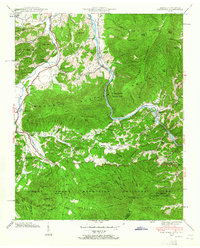
1940 Map of Hartford
USGS Topo · Published 1965About this map
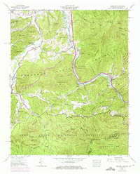
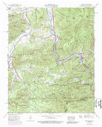
The Pigeon River carves a deep path through the mountain terrain of eastern Tennessee, anchoring the settlement of Hartford and the nearby community of Denton. This 1940 field examination reveals a landscape where valley life and mountain wilderness meet, with small homesteads and institutions like Moraine Seminary and Cosby Sch scattered along the drainages of Cosby Creek and Webb Creek. Local industry and commerce are marked by the presence of Padgett Mill and Jenkins Mill, suggesting a self-sufficient rural economy tied to the region's waterpower.
Find a feature on this map
105 named features on this map. Tap any name to fly to it.
Don’t see what you’re looking for? This feature index may not catch every label — zoom into the map to look around manually.
Map Details
Editions of this 1940 Hartford Map
6 editions found
Other maps of this area

1893 · Mt Guyot
USGS Topo · 1:125,000

1912 · Mt Guyot
USGS Topo · 1:125,000

1935 · Newport
USGS Topo · 1:48,000

1935 · Hartford
USGS Topo · 1:24,000

1935 · English Mountain
USGS Topo · 1:48,000

1935 · Neddy Mountain
USGS Topo · 1:24,000

1935 · Clevenger
USGS Topo · 1:24,000

1935 · Jones Cove
USGS Topo · 1:24,000
1936 · Cove Creek Gap
USGS Topo · 1:24,000
1936 · Waterville
USGS Topo · 1:24,000