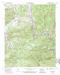
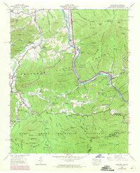
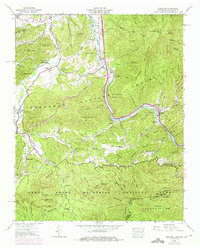
1940 Map of Hartford
USGS Topo · Published 1989About this map
The Pigeon River carves a deep path through this Appalachian borderland, where the Cherokee National Forest meets the Great Smoky Mountains National Park. The landscape is defined by its steep ridges and narrow coves, including Greasy Cove Branch and Britt Hollow, which historically dictated the pattern of mountain settlement. Small rural communities like Hartford, Bluffton, and Catons Grove serve as the primary hubs, connected by winding roads that track the river's edge. Family history is deeply rooted in the land here, evidenced by numerous small burial grounds such as Shultz Cem, Gunter Cem, and the McMillan Cem. Higher elevations like Hall Top and Snowbird Mountain provide the backdrop for the winding Appalachian Trail as it crosses the Tennessee and North Carolina border near Rich Butt Mtn.
Find a feature on this map
106 named features on this map. Tap any name to fly to it.
Don’t see what you’re looking for? This feature index may not catch every label — zoom into the map to look around manually.
Map Details
Editions of this 1940 Hartford Map
6 editions found
Other maps of this area

1893 · Mt Guyot
USGS Topo · 1:125,000

1912 · Mt Guyot
USGS Topo · 1:125,000

1935 · Newport
USGS Topo · 1:48,000

1935 · Hartford
USGS Topo · 1:24,000

1935 · English Mountain
USGS Topo · 1:48,000

1935 · Neddy Mountain
USGS Topo · 1:24,000

1935 · Clevenger
USGS Topo · 1:24,000

1935 · Jones Cove
USGS Topo · 1:24,000
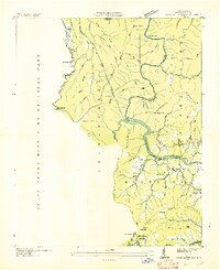
1936 · Cove Creek Gap
USGS Topo · 1:24,000
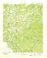
1936 · Waterville
USGS Topo · 1:24,000