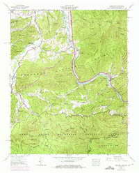
1940 Map of Hartford
USGS Topo · Published 1975About this map
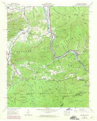
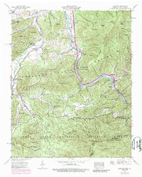
Pigeon River carves a deep valley through the Appalachian landscape, serving as a primary corridor for both the water and the community of Hartford. This region, split by the Tennessee North Carolina border, showcases a transition from the agricultural clearings of Greasy Cove to the protected wilderness of the Great Smoky Mountains National Park and Cherokee National Forest. Settlement patterns are defined by the numerous creeks like Cosby Creek and Bogard Creek, where local life centered around points such as Padgett Mill and the Cosby Sch. The map records a dense network of family landmarks and spiritual centers, including McMillan Ch, Ogle Chapel, and Abe Cem. Steep elevations such as Top or Stone Mountain and Hall Top dominate the eastern reaches, while numerous islands like Brown Island and Johnson Island punctuate the river's path.
Find a feature on this map
133 named features on this map. Tap any name to fly to it.
Don’t see what you’re looking for? This feature index may not catch every label — zoom into the map to look around manually.
Map Details
Editions of this 1940 Hartford Map
6 editions found
Other maps of this area

1893 · Mt Guyot
USGS Topo · 1:125,000

1912 · Mt Guyot
USGS Topo · 1:125,000

1935 · Newport
USGS Topo · 1:48,000

1935 · Hartford
USGS Topo · 1:24,000

1935 · English Mountain
USGS Topo · 1:48,000

1935 · Neddy Mountain
USGS Topo · 1:24,000

1935 · Clevenger
USGS Topo · 1:24,000

1935 · Jones Cove
USGS Topo · 1:24,000
1936 · Cove Creek Gap
USGS Topo · 1:24,000
1936 · Waterville
USGS Topo · 1:24,000