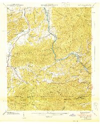
1940 Map of Hartford
USGS Topo · Published 1940About this map
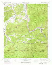
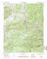
Pigeon River carves a deep valley through this 1940 Tennessee Valley Authority survey, serving as the primary corridor for the settlement of Hartford and the remote community at Denton. The map documents a landscape defined by rugged mountain agriculture and early forest management within the Cherokee National Forest. Small mountain churches like Allen Grove Ch and Union Ch are scattered among family landmarks such as Shultz Cem and Mcmillan Cem, reflecting the deep-rooted genealogy of these Appalachian hollows.
Find a feature on this map
115 named features on this map. Tap any name to fly to it.
Don’t see what you’re looking for? This feature index may not catch every label — zoom into the map to look around manually.
Map Details
Editions of this 1940 Hartford Map
6 editions found
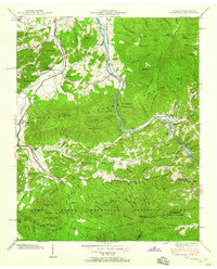
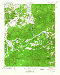
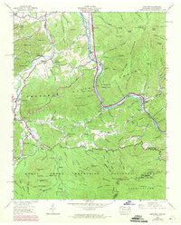
Other maps of this area

1893 · Mt Guyot
USGS Topo · 1:125,000

1912 · Mt Guyot
USGS Topo · 1:125,000

1935 · Newport
USGS Topo · 1:48,000

1935 · Hartford
USGS Topo · 1:24,000

1935 · English Mountain
USGS Topo · 1:48,000

1935 · Neddy Mountain
USGS Topo · 1:24,000

1935 · Clevenger
USGS Topo · 1:24,000

1935 · Jones Cove
USGS Topo · 1:24,000
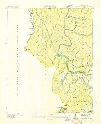
1936 · Cove Creek Gap
USGS Topo · 1:24,000
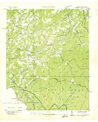
1936 · Waterville
USGS Topo · 1:24,000