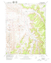
1954 Map of Harts Point
USGS Topo · Published 1980About this map
Canyonlands National Park dominates the western portion of this 1950s survey, capturing a landscape of deep canyons and intricate geological formations before modern tourism infrastructure took hold. Along the drainages of Indian Creek and Salt Creek, the map identifies significant archaeological and cultural sites including the All American Man pictograph, Thirteen Faces, and the Towel Ruin. The presence of a Cliff Dwelling and various Petroglyphs near Lavender Canyon speaks to the long human history of the region, while modern land use is represented by remote cattle operations like the Dugout Ranch.
Find a feature on this map
40 named features on this map. Tap any name to fly to it.
Don’t see what you’re looking for? This feature index may not catch every label — zoom into the map to look around manually.
Map Details
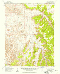
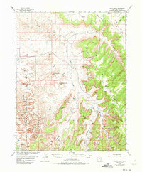
Editions of this 1954 Harts Point Map
4 editions found

Other maps of this area

1885 · La Sal
USGS Topo · 1:250,000

1886 · Abajo
USGS Topo · 1:250,000

1892 · Abajo
USGS Topo · 1:250,000

1893 · Abajo
USGS Topo · 1:250,000

1935 · Elk Ridge
USGS Topo · 1:96,000

1940 · Elk Ridge
USGS Topo · 1:125,000

1951 · Upheaval Dome
USGS Topo · 1:62,500

1952 · Carlisle 2 SE
USGS Topo · 1:24,000

1953 · The Needles
USGS Topo · 1:62,500

1954 · Elk Ridge 1 NW
USGS Topo · 1:24,000