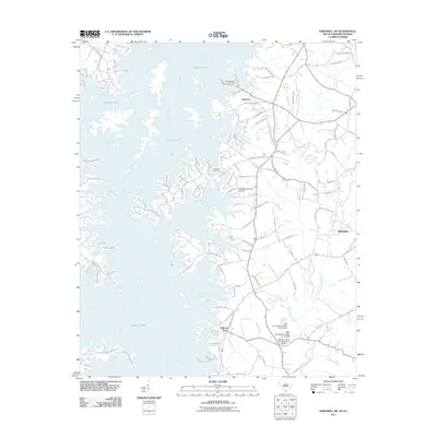
2011 Map of Hartwell NE
USGS Topo · Published 2011About this map
Hartwell Lake dominates this landscape, its sprawling fingers flooding the valleys where the Seneca River and Savannah River once met more naturally. The modern shoreline is dotted with small residential communities and landings like Lakefront and Springfield Villas, while many older landmarks remain on higher ground. Genealogists can locate several burial sites including Andersonville Cemetery and Providence Cemetery, which serve as physical links to the area's pre-reservoir history.
Find a feature on this map
110 named features on this map. Tap any name to fly to it.
Don’t see what you’re looking for? This feature index may not catch every label — zoom into the map to look around manually.
Map Details
Editions of this 2011 Hartwell NE Map
This is the sole edition of this map. No revisions or reprints were ever made.
Other maps of this area

1888 · Pickens
USGS Topo · 1:125,000

1893 · Elberton
USGS Topo · 1:125,000

1894 · Pickens
USGS Topo · 1:125,000

1950 · La France
USGS Topo · 1:24,000

1951 · La France
USGS Topo · 1:24,000

1954 · Greenville
USGS Topo · 1:250,000

1957 · Anderson
USGS Topo · 1:62,500

1958 · Greenville
USGS Topo · 1:250,000

1958 · Fair Play
USGS Topo · 1:24,000

1959 · Hartwell Dam
USGS Topo · 1:24,000