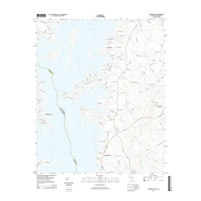
2014 Map of Hartwell NE
USGS Topo · Published 2014About this map
Hartwell Lake dominates this 2014 landscape, marking the convoluted boundary where South Carolina and Georgia meet. The map reveals a region defined by its water-access geography, with residential clusters like Lakefront and Allendale situated near the dendritic fingers of the reservoir. Local history is anchored by sites like Andersonville Cem and Providence Cem, providing critical touchpoints for genealogical research in Anderson County. The intricate creek systems, including Big Generostee Creek, Devil Fork Cr, and Mountain Cr, show the underlying drainage patterns that dictated early settlement before the reservoir's creation. Road networks like Old Dobbins Bridge Rd and Hattons Ford Rd trace historic transit routes across the Piedmont, connecting landmarks like Holland Store to the evolving shoreline of the Savannah River basin.
Find a feature on this map
109 named features on this map. Tap any name to fly to it.
Don’t see what you’re looking for? This feature index may not catch every label — zoom into the map to look around manually.
Map Details
Editions of this 2014 Hartwell NE Map
This is the sole edition of this map. No revisions or reprints were ever made.
Other maps of this area

1888 · Pickens
USGS Topo · 1:125,000

1893 · Elberton
USGS Topo · 1:125,000

1894 · Pickens
USGS Topo · 1:125,000

1950 · La France
USGS Topo · 1:24,000

1951 · La France
USGS Topo · 1:24,000

1954 · Greenville
USGS Topo · 1:250,000

1957 · Anderson
USGS Topo · 1:62,500

1958 · Greenville
USGS Topo · 1:250,000

1958 · Fair Play
USGS Topo · 1:24,000

1959 · Hartwell Dam
USGS Topo · 1:24,000