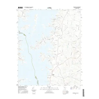
2017 Map of Hartwell NE
USGS Topo · Published 2017About this map
Hartwell Lake dominates the western landscape of this quadrangle, its intricate shoreline forming the border between Anderson Co and Hart Co, as well as the state line between South Carolina and Georgia. The rugged eastern terrain is defined by a dense network of watercourses including Big Generostee Creek, Devil Fork Cr, and Buchanan Cr, which carve through the land before reaching the reservoir.
Find a feature on this map
81 named features on this map. Tap any name to fly to it.
Don’t see what you’re looking for? This feature index may not catch every label — zoom into the map to look around manually.
Map Details
Editions of this 2017 Hartwell NE Map
This is the sole edition of this map. No revisions or reprints were ever made.
Other maps of this area

1888 · Pickens
USGS Topo · 1:125,000

1893 · Elberton
USGS Topo · 1:125,000

1894 · Pickens
USGS Topo · 1:125,000

1950 · La France
USGS Topo · 1:24,000

1951 · La France
USGS Topo · 1:24,000

1954 · Greenville
USGS Topo · 1:250,000

1957 · Anderson
USGS Topo · 1:62,500

1958 · Greenville
USGS Topo · 1:250,000

1958 · Fair Play
USGS Topo · 1:24,000

1959 · Hartwell Dam
USGS Topo · 1:24,000