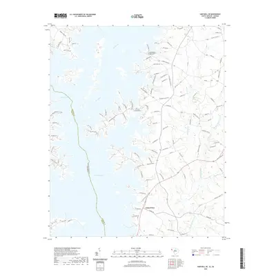
2020 Map of Hartwell NE
USGS Topo · Published 2020About this map
Hartwell Lake dominates this landscape along the border of Georgia and South Carolina, where the Seneca River meets complex finger-like shorelines. The area around Holland Store reflects a rural residential and agricultural pattern, with several family and community landmarks preserved in the modern record. Local history is anchored by the Andersonville Baptist Church and Providence Church, the latter featuring an adjacent Graveyard near Providence Pt. The topography is defined by numerous drainage systems, including Big Generostee Creek, Mountain Cr, and Devil Fork Cr, which feed into the primary reservoir. Road names like Sloans Ferry Rd and Hattons Ford Rd provide a linguistic link to the river-crossing history of the region before the creation of the reservoir.
Find a feature on this map
104 named features on this map. Tap any name to fly to it.
Don’t see what you’re looking for? This feature index may not catch every label — zoom into the map to look around manually.
Map Details
Editions of this 2020 Hartwell NE Map
This is the sole edition of this map. No revisions or reprints were ever made.
Other maps of this area

1888 · Pickens
USGS Topo · 1:125,000

1893 · Elberton
USGS Topo · 1:125,000

1894 · Pickens
USGS Topo · 1:125,000

1950 · La France
USGS Topo · 1:24,000

1951 · La France
USGS Topo · 1:24,000

1954 · Greenville
USGS Topo · 1:250,000

1957 · Anderson
USGS Topo · 1:62,500

1958 · Greenville
USGS Topo · 1:250,000

1958 · Fair Play
USGS Topo · 1:24,000

1959 · Hartwell Dam
USGS Topo · 1:24,000