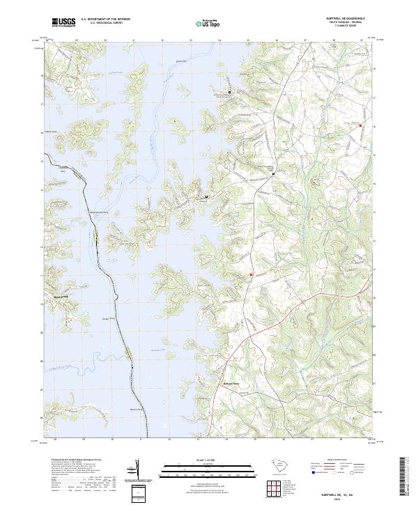
2024 Map of Hartwell NE
USGS Topo · Published 2024About this map
Hartwell Lake dominates this modern landscape, where the inundated valleys of the Seneca River and Tugaloo River meet to form the Savannah River. The map meticulously preserves the names of historic river crossings that predate the reservoir, such as Sloans Ferry, Crawfords Ferry, and Andersonville Ferry. These labels provide a critical link to the area's pre-impoundment geography, marking where traditional transport routes once intersected the river system.
Find a feature on this map
124 named features on this map. Tap any name to fly to it.
Don’t see what you’re looking for? This feature index may not catch every label — zoom into the map to look around manually.
Map Details
Editions of this 2024 Hartwell NE Map
This is the sole edition of this map. No revisions or reprints were ever made.
Other maps of this area

1888 · Pickens
USGS Topo · 1:125,000

1893 · Elberton
USGS Topo · 1:125,000

1894 · Pickens
USGS Topo · 1:125,000

1950 · La France
USGS Topo · 1:24,000

1951 · La France
USGS Topo · 1:24,000

1954 · Greenville
USGS Topo · 1:250,000

1957 · Anderson
USGS Topo · 1:62,500

1958 · Greenville
USGS Topo · 1:250,000

1958 · Fair Play
USGS Topo · 1:24,000

1959 · Hartwell Dam
USGS Topo · 1:24,000