
1893 Map of Harvey Lake
USGS Topo · Published 1893About this map
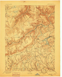
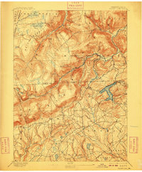
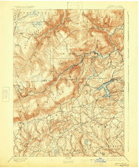
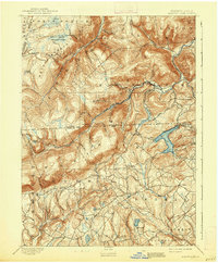
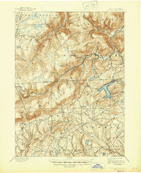
Harvey Lake serves as the central focal point of this 1891 survey, surrounded by a burgeoning network of timber-related infrastructure and small settlements. The extractive economy of the late nineteenth century is clearly visible through the Lewis Lumber R. R. and the Lehigh Valley R. R., which threaded through the narrow valleys of the North Branch Mountain and Dutch Mountain. These lines provided critical transport for the region's timber resources, connecting remote outposts like Stull and Noxen to broader markets.
Find a feature on this map
71 named features on this map. Tap any name to fly to it.
Don’t see what you’re looking for? This feature index may not catch every label — zoom into the map to look around manually.
Map Details
Editions of this 1893 Harvey Lake Map
6 editions found
Other maps of this area

1891 · Wilkesbarre
USGS Topo · 1:62,500

1891 · Harveys Lake
USGS Topo · 1:62,500

1893 · Pittston
USGS Topo · 1:62,500

1894 · Shickshinny
USGS Topo · 1:62,500

1894 · Bloomsburg
USGS Topo · 1:62,500

1894 · Wilkesbarre
USGS Topo · 1:62,500

1934 · Laporte
USGS Topo · 1:62,500

1943 · Scranton
USGS Topo · 1:125,000

1943 · Monroeton
USGS Topo · 1:62,500

1945 · Meshoppen
USGS Topo · 1:62,500