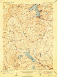
1949 Map of Harvey Lake
USGS Topo · Published 1949About this map
Harvey Lake serves as the dominant geographical anchor of this Luzerne County landscape, its shoreline dotted with early mid-century settlements like Laketon, Shawanese, and the private enclave of Wordan Place. The map captures a transition in water management and rural life shortly after the war, evidenced by the presence of the Pikes Creek Reservoir to the south. The surrounding terrain is a mosaic of small farming communities and townships, including Lehman, Jackson, and Hunlock. Local genealogy and social history are well-represented by a density of community landmarks such as St Anns Ch, Mt Carmel Ch, and various rural schools including Santee Sch and Oakdale Sch. The road network, featuring Pikes Creek Road and Pades Creek Road, connects these scattered settlements across the slopes of Kocher Mtn and the broader North Mountain range.
Find a feature on this map
50 named features on this map. Tap any name to fly to it.
Don’t see what you’re looking for? This feature index may not catch every label — zoom into the map to look around manually.
Map Details
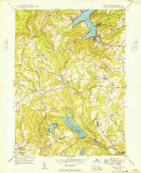
Editions of this 1949 Harvey Lake Map
2 editions found
Other maps of this area

1891 · Wilkesbarre
USGS Topo · 1:62,500

1891 · Harveys Lake
USGS Topo · 1:62,500

1893 · Harvey Lake
USGS Topo · 1:62,500

1893 · Pittston
USGS Topo · 1:62,500

1894 · Shickshinny
USGS Topo · 1:62,500

1894 · Wilkesbarre
USGS Topo · 1:62,500

1943 · Scranton
USGS Topo · 1:125,000

1946 · Nanticoke
USGS Topo · 1:31,680

1946 · Shickshinny
USGS Topo · 1:31,680

1946 · Kingston
USGS Topo · 1:24,000
Featured Places
- Dallas Township, PA
- Lehman Township, PA
- Harveys Lake, PA
- Hunlock Township, PA
- Pikes Creek, Lake Township