
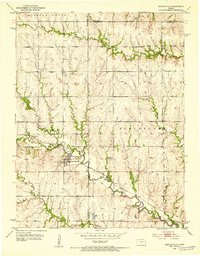
1952 Map of Harveyville
USGS Topo · Published 1953About this map
Harveyville serves as the primary hub of this eastern Kansas landscape, situated at the junction of several key drainage systems. The town is tied to the broader regional economy by the Atchison Topeka and Santa Fe railroad, which follows the winding course of Dragoon Creek through the southern half of the quadrangle. This area in the early 1950s shows a transition in rural infrastructure, marked by the presence of the Sharon Sch to the north and the notably Bellview Sch (Abandoned) further south, signaling changes in local school districts. The terrain is defined by a dense network of waterways including the South Branch Wakarusa River and Soldier Creek, while localized sites like Smith Lake and several Historical Markers suggest a landscape layered with both natural resources and recognized local heritage.
Find a feature on this map
20 named features on this map. Tap any name to fly to it.
Don’t see what you’re looking for? This feature index may not catch every label — zoom into the map to look around manually.
Map Details
Editions of this 1952 Harveyville Map
3 editions found
Other maps of this area

1885 · Eskridge
USGS Topo · 1:125,000

1889 · Burlingame
USGS Topo · 1:125,000

1889 · Eskridge
USGS Topo · 1:125,000

1894 · Eskridge
USGS Topo · 1:125,000

1894 · Burlingame
USGS Topo · 1:125,000

1947 · Lawrence
USGS Topo · 1:250,000

1950 · Lawrence
USGS Topo · 1:250,000

1952 · Auburn
USGS Topo · 1:24,000
1952 · Dover
USGS Topo · 1:24,000

1952 · Burlingame
USGS Topo · 1:24,000