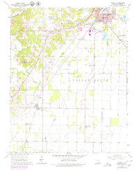
1964 Map of Harviell
USGS Topo · Published 1979About this map
The Missouri Pacific railroad corridor anchors this survey of southern Butler County, connecting the urban edges of Poplar Bluff to the smaller settlement of Harviell. The landscape is a mix of agricultural fields and low-lying drainage patterns, evidenced by the numerous crossings over Cane Creek and the presence of several Sewage Disposal Ponds near the northern boundary. Small rural congregations are central to the community's layout, including Mt Sinai Ch, New Light Ch, and Little Brown Ch.
Find a feature on this map
34 named features on this map. Tap any name to fly to it.
Don’t see what you’re looking for? This feature index may not catch every label — zoom into the map to look around manually.
Map Details
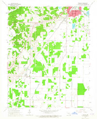
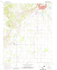
Editions of this 1964 Harviell Map
Other maps of this area

1934 · Williamsville
USGS Topo · 1:48,000

1935 · Poplar Bluff
USGS Topo · 1:62,500

1935 · Acorn
USGS Topo · 1:62,500

1935 · Harviell
USGS Topo · 1:62,500

1939 · Poplar Bluff
USGS Topo · 1:62,500

1940 · Williamsville
USGS Topo · 1:62,500

1940 · Naylor
USGS Topo · 1:62,500

1944 · Naylor
USGS Topo · 1:62,500

1949 · Poplar Bluff
USGS Topo · 1:62,500

1957 · Poplar Bluff
USGS Topo · 1:250,000