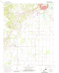
1964 Map of Harviell
USGS Topo · Published 1983About this map
Poplar Bluff and its southern agricultural fringes are documented in this mid-1960s topographic survey, which also includes 1970s revisions. The landscape is defined by the heavy infrastructure of the Missouri Pacific railroad and the Black River corridor. While the city expansion is visible near the Eugene Field Sch, the rural areas reveal a dense network of local institutions essential for genealogical research, including the Black Creek Ch Cem, Friendship Cem, and Melton Cem.
Find a feature on this map
33 named features on this map. Tap any name to fly to it.
Don’t see what you’re looking for? This feature index may not catch every label — zoom into the map to look around manually.
Map Details
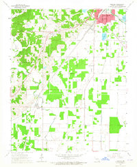
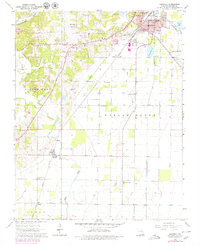
Editions of this 1964 Harviell Map
Other maps of this area

1934 · Williamsville
USGS Topo · 1:48,000

1935 · Poplar Bluff
USGS Topo · 1:62,500

1935 · Acorn
USGS Topo · 1:62,500

1935 · Harviell
USGS Topo · 1:62,500

1939 · Poplar Bluff
USGS Topo · 1:62,500

1940 · Williamsville
USGS Topo · 1:62,500

1940 · Naylor
USGS Topo · 1:62,500

1944 · Naylor
USGS Topo · 1:62,500

1949 · Poplar Bluff
USGS Topo · 1:62,500

1957 · Poplar Bluff
USGS Topo · 1:250,000