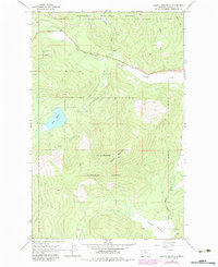
1964 Map of Haskill Mountain
USGS Topo · Published 1983About this map
Haskill Mountain anchors this high-elevation landscape within the Flathead National Forest, where the topography is defined by the drainage systems of Ashley Creek and its southern tributaries. The 1960s survey, updated with late-1970s photogrammetric data, captures a remote region where infrastructure is primarily limited to resource management and small-scale settlement. The presence of the Ashley Creek Sch and the Idaho Trail indicates a history of rural educational and transit networks established long before modern forest roads. To the south, Kessler Flats provides a rare area of level ground amidst the steep draws and peaks, while water features like Rogers Lake and Browns Meadow Creek serve as central landmarks in the local geography. Several Gravel Pit sites are noted along the creek valleys, marking the minor industrial footprint in this mountain environment.
Find a feature on this map
13 named features on this map. Tap any name to fly to it.
Don’t see what you’re looking for? This feature index may not catch every label — zoom into the map to look around manually.
Map Details
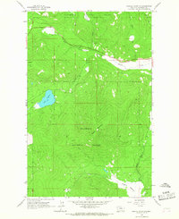
Editions of this 1964 Haskill Mountain Map
2 editions found
Other maps of this area

1920 · Flathead Lake
USGS Topo · 1:125,000

1943 · Kalispell
USGS Topo · 1:125,000

1956 · Wallace
USGS Topo · 1:250,000

1957 · Kalispell
USGS Topo · 1:250,000

1960 · Kalispell
USGS Topo · 1:250,000

1960 · Wallace
USGS Topo · 1:250,000

1961 · Kalispell
USGS Topo · 1:250,000

1962 · Kila
USGS Topo · 1:24,000

1962 · Blue Grass Ridge
USGS Topo · 1:24,000
1964 · Lake Mary Ronan
USGS Topo · 1:24,000