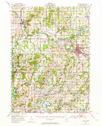
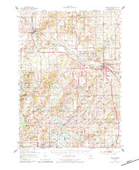
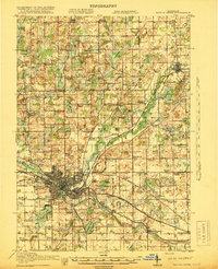
1951 Map of Hastings
USGS Topo · Published 1964About this map
Hastings serves as the focal point of this Barry County landscape, where the Thornapple River winds through a dense network of glacial lakes and small agricultural settlements. By the early 1950s, the region supported a robust system of rural education and community life, evidenced by numerous landmarks like the Little Brick Sch, Algonquin Lake Sch, and the North Irving Ch. Transport across the county was dominated by the New York Central railroad, which connected the industrial activity in Hastings to smaller hubs like Middleville and Irving. To the west, the Yankee Springs Recreation Area preserves a more primitive terrain, dotted with names like Gun Lake and the settlement of Circle Pine Center. The map reveals a transition from the structured town grids to the winding country roads that linked isolated farms and family cemeteries such as Riverside Cem and Brush Ridge Cem.
Find a feature on this map
126 named features on this map. Tap any name to fly to it.
Don’t see what you’re looking for? This feature index may not catch every label — zoom into the map to look around manually.
Map Details
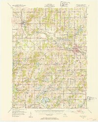
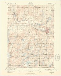
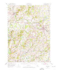
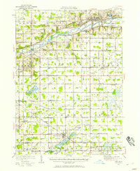
Editions of this 1951 Hastings Map
5 editions found
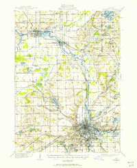
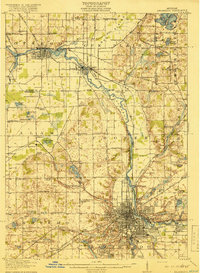
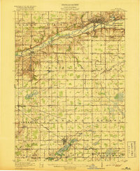
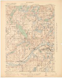
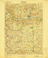
Other maps of this area

1914 · Grand Rapids
USGS Topo · 1:62,500
1916 · Kalamazoo
USGS Topo · 1:62,500
1916 · Ionia
USGS Topo · 1:62,500
1918 · Kalamazoo
USGS Topo · 1:62,500
1918 · Battle Creek
USGS Topo · 1:62,500
1918 · Ionia
USGS Topo · 1:62,500
1918 · Galesburg
USGS Topo · 1:62,500
1918 · Lowell
USGS Topo · 1:62,500

1943 · Battle Creek
USGS Topo · 1:62,500

1943 · Kalamazoo
USGS Topo · 1:62,500
Featured Places
- Hastings, MI
- Prairieville, Prairieville Township
- Irving, Irving Township
- Middleville, Thornapple Township
- Carlton, Carlton Township