
1951 Map of Hastings
USGS Topo · Published 1984About this map
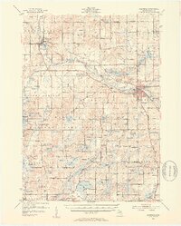
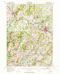
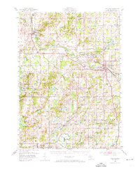
The Thornapple River winds through this mid-century landscape, anchoring the bustling county seat of Hastings and the riverside village of Middleville. The rail corridor of the New York Central connects these hubs, passing through smaller junctions like Irving and past the distinctive Municipal Airport. This era shows a community deeply rooted in its local institutions, evidenced by a high density of rural schoolhouses such as Little Brick Sch and Altoft Sch, many of which served dispersed farming families before district consolidation.
Find a feature on this map
124 named features on this map. Tap any name to fly to it.
Don’t see what you’re looking for? This feature index may not catch every label — zoom into the map to look around manually.
Map Details
Editions of this 1951 Hastings Map
5 editions found

Other maps of this area

1914 · Grand Rapids
USGS Topo · 1:62,500

1916 · Kalamazoo
USGS Topo · 1:62,500

1916 · Ionia
USGS Topo · 1:62,500

1918 · Kalamazoo
USGS Topo · 1:62,500

1918 · Battle Creek
USGS Topo · 1:62,500

1918 · Ionia
USGS Topo · 1:62,500

1918 · Galesburg
USGS Topo · 1:62,500

1918 · Lowell
USGS Topo · 1:62,500

1943 · Battle Creek
USGS Topo · 1:62,500

1943 · Kalamazoo
USGS Topo · 1:62,500