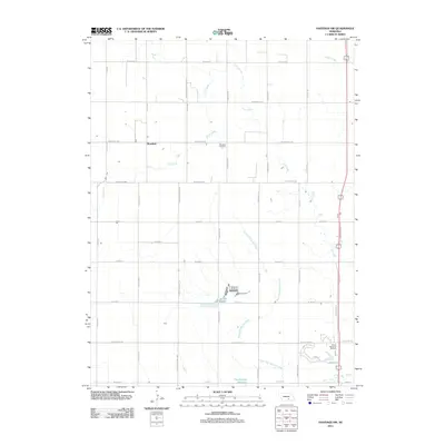
2011 Map of Hastings NW
USGS Topo · Published 2011About this map
The agricultural landscape of Adams County is defined by a rigorous grid of section roads and the meandering path of the West Fork Big Blue River. At the heart of this rural corridor lies the small settlement of Rosedale, serving as a local landmark alongside the nearby Rosedale Cemetery. The area's water management is evident through features like Kernan Lagoon and the Hastings Nw Reservoir, which sit amidst the drainage systems of Flat Creek and Beaver Creek. The southeast corner transitions toward the suburban fringe of the city, marked by Sunset Memorial Gardens and the intersection of major thoroughfares like Osborne Dr E. This survey provides a precise look at the township’s transition from expansive Nebraska farmland to managed reservoirs and memorial parks at the start of the 2010s.
Find a feature on this map
38 named features on this map. Tap any name to fly to it.
Don’t see what you’re looking for? This feature index may not catch every label — zoom into the map to look around manually.
Map Details
Editions of this 2011 Hastings NW Map
This is the sole edition of this map. No revisions or reprints were ever made.
Other maps of this area

1892 · Grand Island
USGS Topo · 1:62,500

1894 · Kenesaw
USGS Topo · 1:62,500

1895 · Grand Island
USGS Topo · 1:62,500

1895 · Wood River
USGS Topo · 1:62,500

1896 · Wood River
USGS Topo · 1:125,000

1898 · Grand Island
USGS Topo · 1:125,000

1955 · Grand Island
USGS Topo · 1:250,000

1957 · Grand Island
USGS Topo · 1:250,000

1958 · Grand Island
USGS Topo · 1:250,000

1962 · Prosser
USGS Topo · 1:24,000