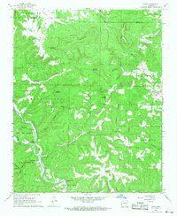
1967 Map of Hasty
USGS Topo · Published 1968About this map
Hasty sits at the heart of this Newton County landscape, where the Buffalo River carves a winding path through the Ozark foothills. In the late 1960s, the area was defined by small, dispersed settlements like Marble City and Yardelle, connected by unimproved roads and forest trails. The terrain is marked by significant verticality, featuring Pinnacle Mountain and the high ridges of Sulphur Mountain and Boat Mountain, the latter topped by a Lookout Tower and Radio Towers.
Find a feature on this map
48 named features on this map. Tap any name to fly to it.
Don’t see what you’re looking for? This feature index may not catch every label — zoom into the map to look around manually.
Map Details
Editions of this 1967 Hasty Map
2 editions found
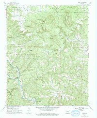
Other maps of this area

1892 · Marshall
USGS Topo · 1:125,000

1893 · Yellville
USGS Topo · 1:125,000

1894 · Marshall
USGS Topo · 1:125,000

1901 · Marshall
USGS Topo · 1:125,000

1903 · Yellville
USGS Topo · 1:125,000

1904 · Harrison
USGS Topo · 1:125,000

1905 · Harrison
USGS Topo · 1:125,000

1905 · Yellville
USGS Topo · 1:125,000

1929 · Yellville
USGS Topo · 1:125,000

1933 · Mt Judea
USGS Topo · 1:62,500