
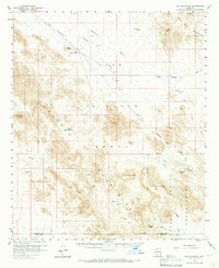
1958 Map of Hat Mountain
USGS Topo · Published 1959About this map
Williams Air Force Base Military Reservation dominates the center of this 1950s Arizona landscape, marking a period of intense military training use in the desert. The terrain is defined by dramatic rises like Hat Mtn and the Sand Tank Mountains, where water management was critical for both local survival and military operations, evidenced by scattered improvements such as Javelina Tank, Butte Tank, and Platt Well.
Find a feature on this map
19 named features on this map. Tap any name to fly to it.
Don’t see what you’re looking for? This feature index may not catch every label — zoom into the map to look around manually.
Map Details
Editions of this 1958 Hat Mountain Map
3 editions found
Other maps of this area

1932 · Ajo
USGS Topo · 1:62,500

1934 · Ajo
USGS Topo · 1:62,500

1950 · Theba
USGS Topo · 1:62,500

1951 · Estrella
USGS Topo · 1:62,500

1951 · Gila Bend
USGS Topo · 1:62,500

1951 · Theba
USGS Topo · 1:62,500

1953 · Ajo
USGS Topo · 1:250,000

1957 · Ajo
USGS Topo · 1:250,000

1958 · Ajo
USGS Topo · 1:250,000

1958 · Kaka
USGS Topo · 1:62,500