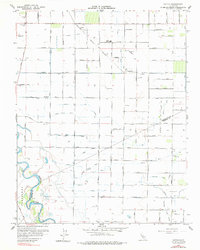
1962 Map of Hatch
USGS Topo · Published 1977About this map
The Tidewater Southern railroad line cuts through the San Joaquin Valley in this early 1960s survey, illustrating a landscape defined by intensive water management and rural agricultural infrastructure. Small settlements like Hatch and Chemurgic serve as focal points in an intricate grid of irrigation canals and drains, including the States Aqueduct, Prairie Flower Drain, and Lateral No 5. The southwestern portion of the sheet is dominated by the winding course of the San Joaquin River and the marshes of Orestimba, where controlled inundation areas and Duck Ponds are noted.
Find a feature on this map
85 named features on this map. Tap any name to fly to it.
Don’t see what you’re looking for? This feature index may not catch every label — zoom into the map to look around manually.
Map Details
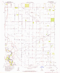
Editions of this 1962 Hatch Map
2 editions found
Other maps of this area

1915 · Westport
USGS Topo · 1:31,680

1916 · Mitchell School
USGS Topo · 1:31,680

1916 · Crows Landing
USGS Topo · 1:31,680

1916 · Denair
USGS Topo · 1:31,680

1916 · Ceres
USGS Topo · 1:31,680

1917 · Turlock
USGS Topo · 1:31,680

1917 · Newman
USGS Topo · 1:31,680

1918 · Stevinson
USGS Topo · 1:31,680

1918 · Gustine
USGS Topo · 1:31,680

1919 · Orestimba
USGS Topo · 1:62,500