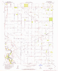
1962 Map of Hatch
USGS Topo · Published 1962About this map
The San Joaquin River and Orestimba River define the western reaches of this agricultural landscape in the Central Valley. Irrigation infrastructure is pervasive, with a complex system of water management including the States Aqueduct and numerous lateral canals like the Tidewater Lateral supporting the local economy. The mapping of Duck Ponds near the riverbanks suggests the seasonal wetlands and hunting grounds typical of the region's floodplains before extensive modern development.
Find a feature on this map
64 named features on this map. Tap any name to fly to it.
Don’t see what you’re looking for? This feature index may not catch every label — zoom into the map to look around manually.
Map Details
Editions of this 1962 Hatch Map
2 editions found
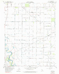
Other maps of this area

1915 · Westport
USGS Topo · 1:31,680

1916 · Mitchell School
USGS Topo · 1:31,680

1916 · Crows Landing
USGS Topo · 1:31,680

1916 · Denair
USGS Topo · 1:31,680

1916 · Ceres
USGS Topo · 1:31,680

1917 · Turlock
USGS Topo · 1:31,680

1917 · Newman
USGS Topo · 1:31,680

1918 · Stevinson
USGS Topo · 1:31,680

1918 · Gustine
USGS Topo · 1:31,680

1919 · Orestimba
USGS Topo · 1:62,500