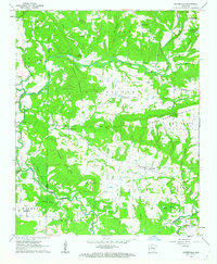
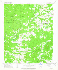
1962 Map of Hattieville
USGS Topo · Published 1963About this map
Hattieville serves as a central hub in this early 1960s landscape, where the agricultural plains of the Gregory and Welborn townships meet the rising elevations of Pigeon Roost Mountain. The geography is defined by the winding course of West Fork Point Remove Creek, which creates a complex network of wetlands and seasonal water bodies like Grinnel Pond and Goose Pond. Small rural communities and church-centered settlements like Old Hickory, Robertsville, and Macedonia are connected by a series of crossings including Hackers Bridge and Prim Bridge.
Find a feature on this map
63 named features on this map. Tap any name to fly to it.
Don’t see what you’re looking for? This feature index may not catch every label — zoom into the map to look around manually.
Map Details
Editions of this 1962 Hattieville Map
2 editions found
Other maps of this area

1889 · Morrilton No. 3
USGS Topo · 1:62,500

1892 · Morrillton
USGS Topo · 1:125,000

1894 · Morrillton
USGS Topo · 1:125,000

1956 · Russellville
USGS Topo · 1:250,000

1961 · Morrilton East
USGS Topo · 1:24,000

1961 · Morrilton West
USGS Topo · 1:24,000

1961 · Atkins
USGS Topo · 1:24,000
1962 · Hector
USGS Topo · 1:24,000
1962 · Jerusalem
USGS Topo · 1:24,000
1962 · Cleveland
USGS Topo · 1:24,000