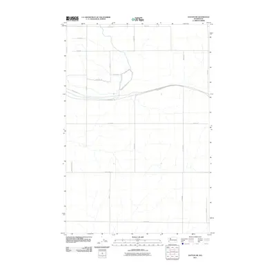
2011 Map of Hatton NW
USGS Topo · Published 2011About this map
John Wayne Trl cuts across the center of this 2011 survey, following the long-established path through the rural landscape of eastern Washington. The area is defined by a grid of agricultural and transport arteries, including N Howard Rd and N Irby Rd, which facilitate movement through the expansive farm country. The drainage patterns and land contours shown here reflect the subtle topography of the Columbia Plateau, where intermittent streams and coulees break the otherwise uniform farmland.
Find a feature on this map
21 named features on this map. Tap any name to fly to it.
Don’t see what you’re looking for? This feature index may not catch every label — zoom into the map to look around manually.
Map Details
Editions of this 2011 Hatton NW Map
This is the sole edition of this map. No revisions or reprints were ever made.
Other maps of this area

1916 · Connell
USGS Topo · 1:125,000

1918 · Connell
USGS Topo · 1:125,000

1923 · Wheeler
USGS Topo · 1:62,500

1924 · Othello
USGS Topo · 1:62,500

1925 · Wheeler
USGS Topo · 1:62,500

1925 · Schrag
USGS Topo · 1:62,500

1953 · Walla Walla
USGS Topo · 1:250,000

1953 · Ritzville
USGS Topo · 1:250,000

1954 · Bruce
USGS Topo · 1:24,000

1954 · Warden
USGS Topo · 1:24,000