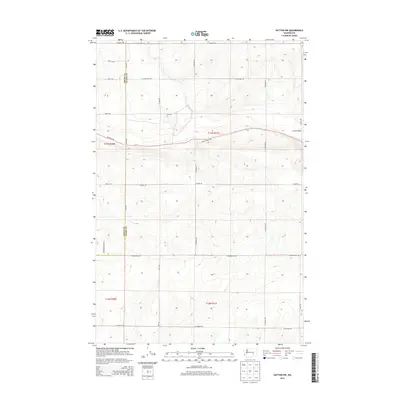
2014 Map of Hatton NW
USGS Topo · Published 2014About this map
Lind Coulee carves through the undulating scabland terrain along the border of Grant and Adams counties, defining the natural drainage of this rural agricultural landscape. The 2014 survey reveals a highly organized township and range grid, where family-named routes like W Roloff Rd, Hiller Rd, and W Calloway Rd provide access to sectioned farmsteads. A significant modern recreational corridor, the John Wayne Trl, traverses the northern sections from east to west, following a historical rail alignment across the coulee. The map documents a sparsely populated but strictly managed landscape, where long north-south thoroughfares such as N Fox Rd and N Deal Rd connect isolated agricultural operations and irrigation infrastructure in this portion of the Columbia Basin.
Find a feature on this map
30 named features on this map. Tap any name to fly to it.
Don’t see what you’re looking for? This feature index may not catch every label — zoom into the map to look around manually.
Map Details
Editions of this 2014 Hatton NW Map
This is the sole edition of this map. No revisions or reprints were ever made.
Other maps of this area

1916 · Connell
USGS Topo · 1:125,000

1918 · Connell
USGS Topo · 1:125,000

1923 · Wheeler
USGS Topo · 1:62,500

1924 · Othello
USGS Topo · 1:62,500

1925 · Wheeler
USGS Topo · 1:62,500

1925 · Schrag
USGS Topo · 1:62,500

1953 · Walla Walla
USGS Topo · 1:250,000

1953 · Ritzville
USGS Topo · 1:250,000

1954 · Bruce
USGS Topo · 1:24,000

1954 · Warden
USGS Topo · 1:24,000