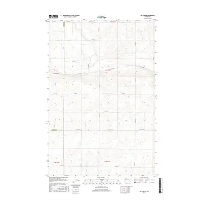
2017 Map of Hatton NW
USGS Topo · Published 2017About this map
The border between Grant Co Adams Co runs horizontally through this landscape, dividing the agricultural interior of Washington state. The area is defined by a dense, systematic grid of section roads and rural tracks, showing a landscape organized for large-scale dryland farming or irrigation. Key transport corridors like W Lind-Warden Rd and W Providence Rd provide access through the undulating terrain, which transitions across several townships including t17n r31e and t16n r31e. While no major town centers are visible on this specific sheet, the presence of family-named routes such as Hiller Rd, N Irby Rd, and Roloff Rd points to the long-standing agricultural lineage of the region. The map reveals the precise layout of property boundaries and local connectors like Pvt Field Rd and W Calloway Rd during the early 21st century.
Find a feature on this map
27 named features on this map. Tap any name to fly to it.
Don’t see what you’re looking for? This feature index may not catch every label — zoom into the map to look around manually.
Map Details
Editions of this 2017 Hatton NW Map
This is the sole edition of this map. No revisions or reprints were ever made.
Other maps of this area

1916 · Connell
USGS Topo · 1:125,000

1918 · Connell
USGS Topo · 1:125,000

1923 · Wheeler
USGS Topo · 1:62,500

1924 · Othello
USGS Topo · 1:62,500

1925 · Wheeler
USGS Topo · 1:62,500

1925 · Schrag
USGS Topo · 1:62,500

1953 · Walla Walla
USGS Topo · 1:250,000

1953 · Ritzville
USGS Topo · 1:250,000

1954 · Bruce
USGS Topo · 1:24,000

1954 · Warden
USGS Topo · 1:24,000