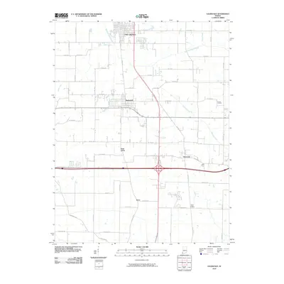
2010 Map of Haubstadt
USGS Topo · Published 2010About this map
Fort Branch and Haubstadt anchor this southern Indiana corridor during a period of modern expansion. The landscape is defined by the intersection of major highway infrastructure and historical rural settlements. Smaller hamlets like Saint James and Warrenton represent the area's agricultural roots, while the presence of Trinity Parish Cemetery and Stunkel Cemetery offers critical points of interest for genealogists tracing local family histories.
Find a feature on this map
55 named features on this map. Tap any name to fly to it.
Don’t see what you’re looking for? This feature index may not catch every label — zoom into the map to look around manually.
Map Details
Editions of this 2010 Haubstadt Map
This is the sole edition of this map. No revisions or reprints were ever made.
Other maps of this area

1901 · Princeton
USGS Topo · 1:62,500

1901 · Haubstadt
USGS Topo · 1:62,500

1902 · Ditney
USGS Topo · 1:125,000

1902 · Boonville
USGS Topo · 1:62,500

1903 · Haubstadt
USGS Topo · 1:62,500

1903 · Petersburg
USGS Topo · 1:62,500

1903 · Princeton
USGS Topo · 1:62,500

1903 · Patoka
USGS Topo · 1:125,000

1956 · Vincennes
USGS Topo · 1:250,000

1957 · Vincennes
USGS Topo · 1:250,000