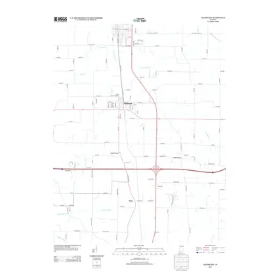
2013 Map of Haubstadt
USGS Topo · Published 2013About this map
Haubstadt serves as the primary hub in this southern Indiana landscape, where agriculture and early transportation infrastructure define the geography. The presence of the Wabash and Erie Canal in the northeast corner of the quadrangle marks the legacy of 19th-century trade, even as modern transport routes like the CSX Transportation railroad and regional roads now dictate the movement of goods. Smaller communities such as Saint James, Warrenton, and Stacer are clustered near these central corridors, reflecting the area's established settlement pattern.
Find a feature on this map
61 named features on this map. Tap any name to fly to it.
Don’t see what you’re looking for? This feature index may not catch every label — zoom into the map to look around manually.
Map Details
Editions of this 2013 Haubstadt Map
This is the sole edition of this map. No revisions or reprints were ever made.
Other maps of this area

1901 · Princeton
USGS Topo · 1:62,500

1901 · Haubstadt
USGS Topo · 1:62,500

1902 · Ditney
USGS Topo · 1:125,000

1902 · Boonville
USGS Topo · 1:62,500

1903 · Haubstadt
USGS Topo · 1:62,500

1903 · Petersburg
USGS Topo · 1:62,500

1903 · Princeton
USGS Topo · 1:62,500

1903 · Patoka
USGS Topo · 1:125,000

1956 · Vincennes
USGS Topo · 1:250,000

1957 · Vincennes
USGS Topo · 1:250,000