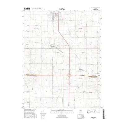
2016 Map of Haubstadt
USGS Topo · Published 2016About this map
Fort Branch and Haubstadt anchor this southern Indiana landscape where the agricultural plains of Gibson County meet the northern edge of Vanderburgh County. The map documents a dense grid of rural roads and established settlements including Saint James, Warrenton, and Stacer. The terrain is defined by a network of drainage features such as W Fork Pigeon Cr, Hurricane Cr, and the Pond Flat Ditch, which support the region's productive farmland. Genealogists can identify significant local landmarks like Stunkel Cem and Trinity Parish Cem. The placement of these cemeteries and small town centers reflects the 19th-century settlement patterns that persisted into the 21st century, centered around church parishes and road junctions like W State Rd 68.
Find a feature on this map
62 named features on this map. Tap any name to fly to it.
Don’t see what you’re looking for? This feature index may not catch every label — zoom into the map to look around manually.
Map Details
Editions of this 2016 Haubstadt Map
This is the sole edition of this map. No revisions or reprints were ever made.
Other maps of this area

1901 · Princeton
USGS Topo · 1:62,500

1901 · Haubstadt
USGS Topo · 1:62,500

1902 · Ditney
USGS Topo · 1:125,000

1902 · Boonville
USGS Topo · 1:62,500

1903 · Haubstadt
USGS Topo · 1:62,500

1903 · Petersburg
USGS Topo · 1:62,500

1903 · Princeton
USGS Topo · 1:62,500

1903 · Patoka
USGS Topo · 1:125,000

1956 · Vincennes
USGS Topo · 1:250,000

1957 · Vincennes
USGS Topo · 1:250,000