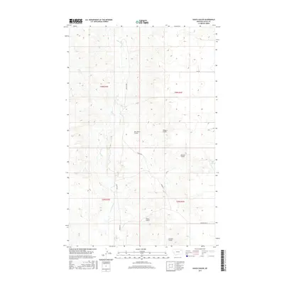
2017 Map of Hauck Coulee
USGS Topo · Published 2017About this map
Hauck Coulee and several other drainage systems define this landscape in the Frazer District of Valley County, where the topography is carved by a network of seasonal watercourses. The map documents a classic Montana prairie environment where modern transport routes like Granada Rd and Grand Prairie Rd navigate between localized depressions and high ground. Notable water features include Little Porcupine Cr and Spring Cr, along with the Todd Lakes in the eastern portion of the survey. These landmarks serve as vital points of reference in an area marked by its coulee systems, such as O'Watch Coulee and Jack Norris Coulee, which suggest historical family or ranching associations within the Public Land Survey System grids of Townships 29 and 30 North.
Find a feature on this map
15 named features on this map. Tap any name to fly to it.
Don’t see what you’re looking for? This feature index may not catch every label — zoom into the map to look around manually.
Map Details
Editions of this 2017 Hauck Coulee Map
This is the sole edition of this map. No revisions or reprints were ever made.
Other maps of this area

1910 · Todd Lakes
USGS Topo · 1:62,500

1915 · Frazer
USGS Topo · 1:62,500

1915 · Oswego
USGS Topo · 1:62,500

1915 · Todd Lakes
USGS Topo · 1:62,500

1915 · Spring Creek
USGS Topo · 1:62,500

1954 · Wolf Point
USGS Topo · 1:250,000

1954 · Glasgow
USGS Topo · 1:250,000

1957 · Glasgow
USGS Topo · 1:250,000

1958 · Wolf Point
USGS Topo · 1:250,000

1958 · Glasgow
USGS Topo · 1:250,000