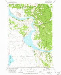
1972 Map of Hauser Lake
USGS Topo · Published 1975About this map
The Missouri River cuts a deep course through the Helena National Forest in this 1970s study, where the waters are captured by Hauser Lake. This area north of the state capital reflects a landscape heavily shaped by mineral extraction and water management for the arid valley below. The Eldorado Strip Mine and the Golden Charm Mine indicate the region's mining legacy, while the Helena Valley Canal and Helena Regulating Reservoir show the infrastructure required to divert water toward agricultural use.
Find a feature on this map
33 named features on this map. Tap any name to fly to it.
Don’t see what you’re looking for? This feature index may not catch every label — zoom into the map to look around manually.
Map Details
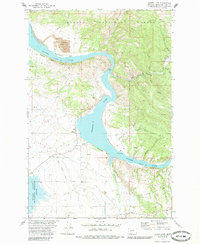
Editions of this 1972 Hauser Lake Map
2 editions found
Other maps of this area

1886 · Fort Logan
USGS Topo · 1:250,000

1899 · Helena
USGS Topo · 1:62,500

1948 · White Sulphur Springs
USGS Topo · 1:250,000

1950 · Canyon Ferry
USGS Topo · 1:62,500

1950 · East Helena
USGS Topo · 1:62,500

1958 · White Sulphur Springs
USGS Topo · 1:250,000

1961 · White Sulphur Springs
USGS Topo · 1:250,000
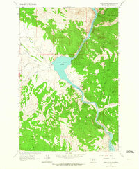
1962 · Upper Holter Lake
USGS Topo · 1:24,000

1962 · Hogback Mountain
USGS Topo · 1:24,000
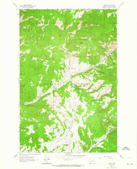
1962 · Nelson
USGS Topo · 1:24,000