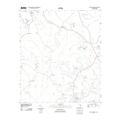
2011 Map of Havana North
USGS Topo · Published 2011About this map
Havana serves as the primary anchor for this north Gadsden County landscape, situated where the terrain transitions toward the Georgia border. The map reveals a rural economy shaped by agriculture and water resources, with small settlements like Jamieson, Hinson, and Amsterdam spaced along the local road network. The area is heavily intersected by several watercourses, most notably Attapulgus Creek and Swamp Creek, which feed into numerous ponds and small lakes like Lake Dubarco and Cecil Butler Lake.
Find a feature on this map
73 named features on this map. Tap any name to fly to it.
Don’t see what you’re looking for? This feature index may not catch every label — zoom into the map to look around manually.
Map Details
Editions of this 2011 Havana North Map
This is the sole edition of this map. No revisions or reprints were ever made.
Other maps of this area

1954 · Tallahassee
USGS Topo · 1:250,000

1955 · Bainbridge
USGS Topo · 1:62,500

1955 · Whigham
USGS Topo · 1:62,500

1956 · Havana North
USGS Topo · 1:24,000

1956 · Dogtown
USGS Topo · 1:24,000

1956 · Calvary
USGS Topo · 1:24,000

1959 · Tallahassee
USGS Topo · 1:250,000

1959 · Quincy
USGS Topo · 1:24,000

1960 · Tallahassee
USGS Topo · 1:250,000

1963 · Lake Jackson
USGS Topo · 1:24,000