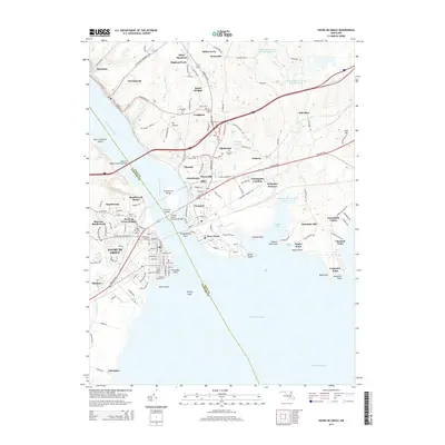
2014 Map of Havre De Grace
USGS Topo · Published 2014About this map
The Susquehanna River dominates this landscape where Harford and Cecil counties meet, serving as a historic corridor for transport and industry. On the western shore, the city of Havre De Grace is a dense network of streets leading to Concord Point, while across the water, Perryville and Aikin anchor the eastern bank. The map reveals a high concentration of genealogical data, including Mt Erin Cem and Angel Hill Cem, alongside early industrial footprints like Principio Furnace.
Find a feature on this map
148 named features on this map. Tap any name to fly to it.
Don’t see what you’re looking for? This feature index may not catch every label — zoom into the map to look around manually.
Map Details
Editions of this 2014 Havre De Grace Map
This is the sole edition of this map. No revisions or reprints were ever made.
Other maps of this area

1898 · Elkton
USGS Topo · 1:62,500

1898 · Tolchester
USGS Topo · 1:125,000

1899 · Dover
USGS Topo · 1:125,000

1900 · Elkton
USGS Topo · 1:62,500

1900 · Cecilton
USGS Topo · 1:62,500

1900 · Havre De Grace
USGS Topo · 1:62,500

1900 · Betterton
USGS Topo · 1:62,500

1903 · Tolchester
USGS Topo · 1:125,000

1906 · Dover
USGS Topo · 1:125,000

1908 · Tolchester
USGS Topo · 1:125,000