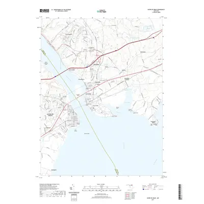
2019 Map of Havre De Grace
USGS Topo · Published 2019About this map
Havre De Grace and Perryville face one another across the mouth of the Susquehanna River as it empties into the Chesapeake Bay, linked by the Thomas Hatem Memorial Bridge and the Susquehanna Bridge. The landscape is a complex network of coastal settlements and historic industrial sites, most notably the Principio Furnace near Furnace Bay. For genealogists, the map is densely labeled with burial grounds, including the Cokesbury Church Cem, Asbury United Methodist Cem, and the Patterson Family Cem. Further north, the town of Port Deposit sits along the river's edge, while Garrett Island and Pennys Shoal dominate the river channel. The industrial and transit legacy of the region is evident in the dense street grids of the coastal towns and the large reservoirs like the Stancil Incorporated Reservoir, showing the area's continued evolution as a vital Maryland transportation corridor.
Find a feature on this map
57 named features on this map. Tap any name to fly to it.
Don’t see what you’re looking for? This feature index may not catch every label — zoom into the map to look around manually.
Map Details
Editions of this 2019 Havre De Grace Map
This is the sole edition of this map. No revisions or reprints were ever made.
Other maps of this area

1898 · Elkton
USGS Topo · 1:62,500

1898 · Tolchester
USGS Topo · 1:125,000

1899 · Dover
USGS Topo · 1:125,000

1900 · Elkton
USGS Topo · 1:62,500

1900 · Cecilton
USGS Topo · 1:62,500

1900 · Havre De Grace
USGS Topo · 1:62,500

1900 · Betterton
USGS Topo · 1:62,500

1903 · Tolchester
USGS Topo · 1:125,000

1906 · Dover
USGS Topo · 1:125,000

1908 · Tolchester
USGS Topo · 1:125,000