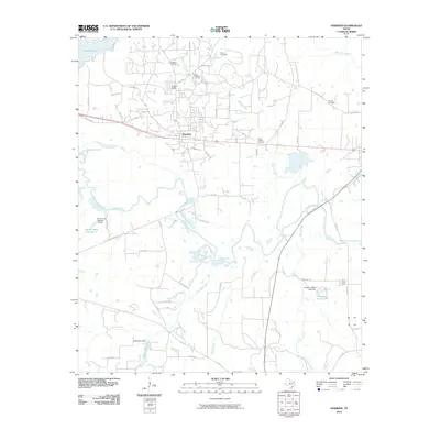
2010 Map of Hawkins
USGS Topo · Published 2010About this map
The Hawkins township sits at the center of this Wood County landscape, defined by its relationship to the Sabine River floodplain to the south and industrial history to the north. The presence of the Hawkins Oil Field and the adjacent Hawkins Camp reflects the region's mid-century energy boom, while several family and institutional burial grounds like Kay Cemetery, Haney Cemetery, and the Jarvis College Cemetery provide vital touchstones for genealogists. Water management is a central theme across the terrain, from the large Lake Hawkins and Bradford Lake in the northwest to agricultural infrastructure like the Pinehurst Farm Lake Dam and Holly Tree Dam. This environment is a complex patchwork of creeks including Big Sandy Creek and East Mill Creek, showing the transition from upland settlements to the swampy lowlands of the river basin.
Find a feature on this map
61 named features on this map. Tap any name to fly to it.
Don’t see what you’re looking for? This feature index may not catch every label — zoom into the map to look around manually.
Map Details
Editions of this 2010 Hawkins Map
This is the sole edition of this map. No revisions or reprints were ever made.
Other maps of this area

1938 · Winona
USGS Topo · 1:48,000

1943 · Winona
USGS Topo · 1:62,500

1948 · Tyler
USGS Topo · 1:62,500

1949 · Tyler
USGS Topo · 1:62,500

1956 · Tyler
USGS Topo · 1:250,000

1960 · Shady Grove
USGS Topo · 1:24,000

1960 · Hawkins
USGS Topo · 1:24,000

1960 · Big Sandy
USGS Topo · 1:24,000

1960 · Pritchett
USGS Topo · 1:24,000

1960 · Hainesville
USGS Topo · 1:24,000