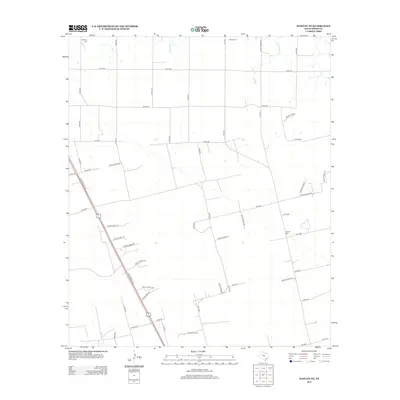
2012 Map of Hawley NE
USGS Topo · Published 2012About this map
The Hatchett Oil Field and a series of rural family-named burial sites define this Jones County landscape in the early 2010s. The terrain is characterized by a precise grid of county roads and numerous private drives branching off US Highway 277 S, reflecting the region's agricultural and energy-production layout. Water sources are scarce, with drainage provided by the seasonal channels of Harmony Cr in the north and Cottonwood Cr in the northeast. For genealogists and local historians, the placement of Mt Hope Cem, Bethel Cem, and Central Cem across the quadrangle provides specific coordinates for ancestral research in this part of West Texas. The abundance of private access roads, such as Private Road 3581 and Private Road 334, suggests a high degree of property subdivision and industrial access tied to the local oil interests.
Find a feature on this map
56 named features on this map. Tap any name to fly to it.
Don’t see what you’re looking for? This feature index may not catch every label — zoom into the map to look around manually.
Map Details
Editions of this 2012 Hawley NE Map
This is the sole edition of this map. No revisions or reprints were ever made.
Other maps of this area

1891 · Anson
USGS Topo · 1:125,000

1893 · Anson
USGS Topo · 1:125,000

1954 · Abilene
USGS Topo · 1:250,000

1957 · Hawley
USGS Topo · 1:62,500

1957 · Nugent
USGS Topo · 1:62,500
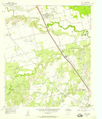
1957 · Hawley
USGS Topo · 1:24,000
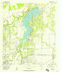
1957 · Hamby
USGS Topo · 1:24,000

1958 · Abilene
USGS Topo · 1:250,000

1965 · Lueders West
USGS Topo · 1:24,000
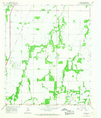
1965 · Funston
USGS Topo · 1:24,000