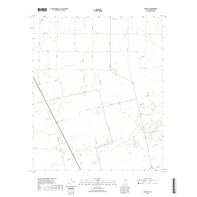
2019 Map of Hawley NE
USGS Topo · Published 2019About this map
The rolling plains of Jones County are defined by a network of rural county roads and seasonal drainages. Scattered cemeteries serve as the primary markers of historic community centers in this largely agricultural landscape, including Mount Hope Cem in the northwest and Bethel Cem to the northeast. Water is scarce on the surface, with ephemeral flows like Cottonwood Creek and Harmony Creek carving subtle paths through the terrain. The map illustrates a modern rural infrastructure where established farm-to-market roads, such as FM 1226 S and FM 3326, intersect with numerous private and county routes. Near the center of the quadrangle, Central Cem sits as a quiet landmark amidst a grid of long-standing property boundaries and ranch land.
Find a feature on this map
58 named features on this map. Tap any name to fly to it.
Don’t see what you’re looking for? This feature index may not catch every label — zoom into the map to look around manually.
Map Details
Editions of this 2019 Hawley NE Map
This is the sole edition of this map. No revisions or reprints were ever made.
Other maps of this area

1891 · Anson
USGS Topo · 1:125,000

1893 · Anson
USGS Topo · 1:125,000

1954 · Abilene
USGS Topo · 1:250,000

1957 · Hawley
USGS Topo · 1:62,500

1957 · Nugent
USGS Topo · 1:62,500
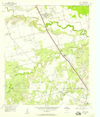
1957 · Hawley
USGS Topo · 1:24,000
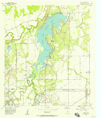
1957 · Hamby
USGS Topo · 1:24,000

1958 · Abilene
USGS Topo · 1:250,000

1965 · Lueders West
USGS Topo · 1:24,000
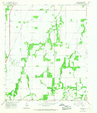
1965 · Funston
USGS Topo · 1:24,000