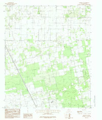
1984 Map of Hawley NE
USGS Topo · Published 1984About this map
Cottonwood Creek and Harmony Creek define the drainage patterns of this rural Texas landscape as it was documented in the late 1970s. The area is characterized by a mix of agricultural land and industrial infrastructure, notably the presence of a Tank Pumping Station and an extensive Pipeline network that cuts across the terrain. This provisional survey captures the intersection of traditional land use and energy utility corridors during a period of infrastructure expansion in Jones County.
Find a feature on this map
8 named features on this map. Tap any name to fly to it.
Don’t see what you’re looking for? This feature index may not catch every label — zoom into the map to look around manually.
Map Details
Editions of this 1984 Hawley NE Map
This is the sole edition of this map. No revisions or reprints were ever made.
Other maps of this area

1891 · Anson
USGS Topo · 1:125,000

1893 · Anson
USGS Topo · 1:125,000

1954 · Abilene
USGS Topo · 1:250,000

1957 · Hawley
USGS Topo · 1:62,500

1957 · Nugent
USGS Topo · 1:62,500
1957 · Hawley
USGS Topo · 1:24,000
1957 · Hamby
USGS Topo · 1:24,000

1958 · Abilene
USGS Topo · 1:250,000

1965 · Lueders West
USGS Topo · 1:24,000
1965 · Funston
USGS Topo · 1:24,000