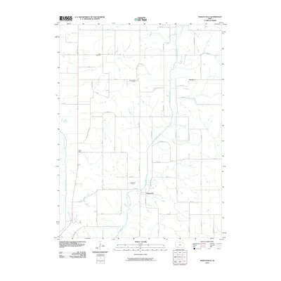
2010 Map of Hawleyville
USGS Topo · Published 2010About this map
The East Nodaway River and West Nodaway River define this rural corner of Page County, Iowa, creating a landscape of meandering waterways and fertile bottoms. The settlement of Hawleyville serves as a central point, positioned near the Hawleyville Cemetery and the intersection of Walnut Ave. Further north, the tiny communities of North Mills and Henshaw anchor the farming grid. The distribution of family and community burial grounds, including North Grove Cemetery and Valley Cemetery, provides important landmarks for genealogical research within this agricultural landscape. A network of section-line roads, such as Taylor-Page Ave and Willow Ave, connects the scattered farmsteads across the undulating terrain between the river forks, showing the persistent 19th-century land patterns still in use during this early 21st-century survey.
Find a feature on this map
47 named features on this map. Tap any name to fly to it.
Don’t see what you’re looking for? This feature index may not catch every label — zoom into the map to look around manually.
Map Details
Editions of this 2010 Hawleyville Map
This is the sole edition of this map. No revisions or reprints were ever made.
Other maps of this area

1940 · Coin
USGS Topo · 1:62,500

1940 · New Market
USGS Topo · 1:62,500

1943 · Coin
USGS Topo · 1:62,500

1943 · New Market
USGS Topo · 1:62,500

1955 · Nebraska City
USGS Topo · 1:250,000

1957 · Nebraska City
USGS Topo · 1:250,000

1958 · Nebraska City
USGS Topo · 1:250,000

1978 · Stanton
USGS Topo · 1:24,000

1978 · Clarinda North
USGS Topo · 1:24,000

1980 · Guss
USGS Topo · 1:24,000