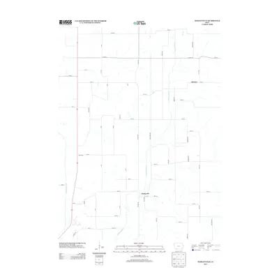
2013 Map of Hawleyville
USGS Topo · Published 2013About this map
Hawleyville sits at the heart of this agricultural landscape in Page County, positioned where local roads converge near the banks of the E Nodaway River. The settlement pattern reflects the enduring rural character of southwestern Iowa, with small clusters such as Henshaw and North Mills punctuating an extensive network of range and township roads. Waterways like Long Br and the W Nodaway River snake through the sections, dictating the placement of early farmsteads and crossing points. This 2013 survey, produced by the U.S. Geological Survey, illustrates the persistent layout of the land, where modern designations like Co Hwy J20 overlay the historic paths established during the nineteenth-century settlement of the East Nodaway valley.
Find a feature on this map
49 named features on this map. Tap any name to fly to it.
Don’t see what you’re looking for? This feature index may not catch every label — zoom into the map to look around manually.
Map Details
Editions of this 2013 Hawleyville Map
This is the sole edition of this map. No revisions or reprints were ever made.
Other maps of this area

1940 · Coin
USGS Topo · 1:62,500

1940 · New Market
USGS Topo · 1:62,500

1943 · Coin
USGS Topo · 1:62,500

1943 · New Market
USGS Topo · 1:62,500

1955 · Nebraska City
USGS Topo · 1:250,000

1957 · Nebraska City
USGS Topo · 1:250,000

1958 · Nebraska City
USGS Topo · 1:250,000

1978 · Stanton
USGS Topo · 1:24,000

1978 · Clarinda North
USGS Topo · 1:24,000

1980 · Guss
USGS Topo · 1:24,000