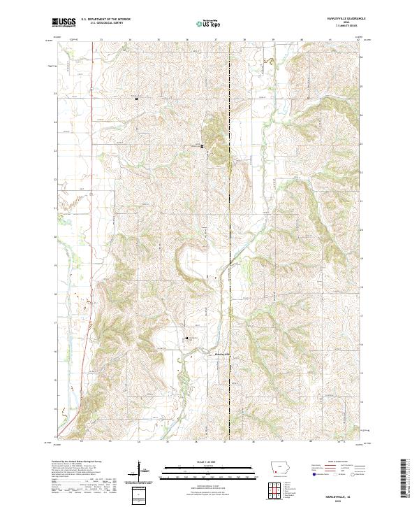
2022 Map of Hawleyville
USGS Topo · Published 2022About this map
The East Nodaway River and its tributary, Long Br, carve a distinct path through the southwest Iowa countryside near the border of Page and Taylor Counties. At the center of this rural landscape lies Hawleyville, a small settlement oriented along 187th St and the river's winding course. This topographical study captures the intersection of natural water systems and the rigid section-line grid of roads like 120th St and Anchor Ave. Genealogists and local historians can locate several important regional landmarks, including Hawleyville Cem, North Grove Cem, and Fairview Cem, all situated along the rolling divides between the river valleys. The western edge of the area is defined by the corridor of US Highway 71, while the West Nodaway River enters the frame in the far southwest, illustrating the drainage patterns of this agricultural heartland.
Find a feature on this map
50 named features on this map. Tap any name to fly to it.
Don’t see what you’re looking for? This feature index may not catch every label — zoom into the map to look around manually.
Map Details
Editions of this 2022 Hawleyville Map
This is the sole edition of this map. No revisions or reprints were ever made.
Other maps of this area

1940 · Coin
USGS Topo · 1:62,500

1940 · New Market
USGS Topo · 1:62,500

1943 · Coin
USGS Topo · 1:62,500

1943 · New Market
USGS Topo · 1:62,500

1955 · Nebraska City
USGS Topo · 1:250,000

1957 · Nebraska City
USGS Topo · 1:250,000

1958 · Nebraska City
USGS Topo · 1:250,000

1978 · Stanton
USGS Topo · 1:24,000

1978 · Clarinda North
USGS Topo · 1:24,000

1980 · Guss
USGS Topo · 1:24,000