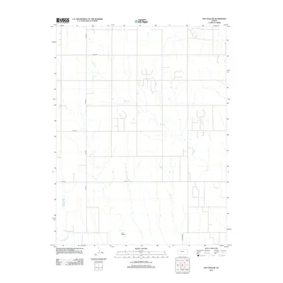
2012 Map of Hay Hollow
USGS Topo · Published 2012About this map
Happy Cr and its various tributaries define the drainage patterns of this Trego County landscape, flowing through a section of the High Plains dominated by a geometric grid of rural roads. The northern reach of the N Fork Saline River cuts across the southwestern corner, providing a rare topographical break in an area otherwise characterized by long, north-south county routes like Co Rd-539. The map centers on the namesake Hay Hollow, where the terrain begins to ripple toward the river valley. Local travel and commerce are traced via a network of named lanes, including the uniquely titled Sale Barn Rd and several primary county connectors such as Co Rd-418 and Co RD-406. This survey provides a precise view of the rural infrastructure and land divisions that persist in this part of Kansas into the early 21st century.
Find a feature on this map
8 named features on this map. Tap any name to fly to it.
Don’t see what you’re looking for? This feature index may not catch every label — zoom into the map to look around manually.
Map Details
Editions of this 2012 Hay Hollow Map
This is the sole edition of this map. No revisions or reprints were ever made.
Other maps of this area

1893 · Hill
USGS Topo · 1:125,000

1954 · Goodland
USGS Topo · 1:250,000

1955 · Beloit
USGS Topo · 1:250,000

1956 · Goodland
USGS Topo · 1:250,000

1957 · Goodland
USGS Topo · 1:250,000

1959 · Beloit
USGS Topo · 1:250,000
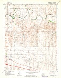
1962 · Wa Keeney East
USGS Topo · 1:24,000
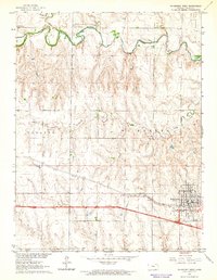
1963 · Wa Keeney West
USGS Topo · 1:24,000

1979 · Hill City South
USGS Topo · 1:24,000

1979 · Morland
USGS Topo · 1:24,000