
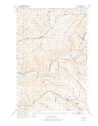
1950 Map of Hay
USGS Topo · Published 1956About this map
Snake River navigation and grain-belt logistics define this mid-century landscape where Whitman, Columbia, and Garfield counties converge. The small settlement of Hay serves as a focal point for the Union Pacific railroad lines that parallel Alkali Flat Creek, while the Central Ferry crossing remains a critical link for the Pacific Highway across the deep river canyon. Along the northern plateaus, the Selbu Church and Selbu Cem stand as markers of the area's rural community life.
Find a feature on this map
58 named features on this map. Tap any name to fly to it.
Don’t see what you’re looking for? This feature index may not catch every label — zoom into the map to look around manually.
Map Details
Editions of this 1950 Hay Map
2 editions found
Other maps of this area

1919 · Walla Walla
USGS Topo · 1:125,000

1921 · Walla Walla
USGS Topo · 1:125,000

1937 · Pomeroy
USGS Topo · 1:96,000

1942 · Pomeroy
USGS Topo · 1:125,000

1948 · Starbuck
USGS Topo · 1:62,500

1950 · La Crosse
USGS Topo · 1:62,500

1950 · Starbuck
USGS Topo · 1:62,500

1950 · Penawawa
USGS Topo · 1:62,500

1950 · Endicott
USGS Topo · 1:62,500

1950 · Benge
USGS Topo · 1:62,500