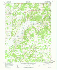
1959 Map of Hayden
USGS Topo · Published 1960About this map
The Baltimore and Ohio Railroad corridor anchors the northern reach of this Jennings County landscape, connecting the settlement of Hayden with the outskirts of North Vernon. The terrain is defined by the winding course of the Vernon Fork Muscatatuck River, which creates a complex network of drainage including Sixmile Creek, Indian Creek, and Tea Creek. This 1950s survey documents a rural community centered around family-named landmarks and local institutions, evidenced by the numerous cemeteries like Whitcomb Cem and Stewart Cem that dot the countryside.
Find a feature on this map
47 named features on this map. Tap any name to fly to it.
Don’t see what you’re looking for? This feature index may not catch every label — zoom into the map to look around manually.
Map Details
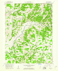
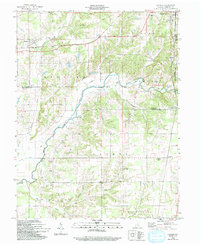
Editions of this 1959 Hayden Map
Other maps of this area

1942 · Columbus
USGS Topo · 1:125,000

1953 · Cincinnati
USGS Topo · 1:250,000

1956 · Volga
USGS Topo · 1:24,000

1956 · Deputy
USGS Topo · 1:24,000

1956 · Louisville
USGS Topo · 1:250,000

1957 · Cincinnati
USGS Topo · 1:250,000

1957 · Butlerville
USGS Topo · 1:24,000

1957 · Azalia
USGS Topo · 1:24,000

1957 · North Vernon
USGS Topo · 1:24,000
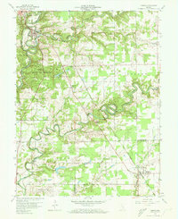
1959 · Vernon
USGS Topo · 1:24,000