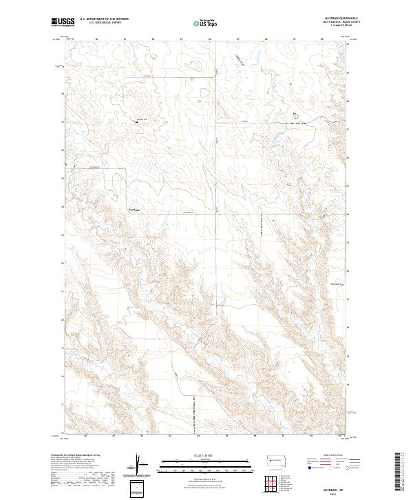
2021 Map of Haydraw
USGS Topo · Published 2021About this map
Haydraw sits within a landscape defined by an intricate network of drainages and high plains in Meade County, South Dakota. The topography is marked by the sprawling Harwood Flat and the etched pathways of Hay Cr, Maddox Draw, and W Bull Cr. This area reflects a classic Western ranching and homesteading pattern, where infrastructure follows the natural contours of the land. Hay Draw Rd and Co Hwy Mc-27 serve as primary arteries through the various townships, including t6n r11e and t5n r12e. For genealogists and local historians, the Haydraw Cem remains a critical point of interest, anchoring the modern map to its earlier pioneer roots. The map detail illustrates how water sources like E Elm Cr influenced the naming and placement of early rural roads like Oxbow Pl and Hope Rd.
Find a feature on this map
17 named features on this map. Tap any name to fly to it.
Don’t see what you’re looking for? This feature index may not catch every label — zoom into the map to look around manually.
Map Details
Editions of this 2021 Haydraw Map
This is the sole edition of this map. No revisions or reprints were ever made.
Other maps of this area

1953 · Hereford SE
USGS Topo · 1:24,000

1953 · Hereford NE
USGS Topo · 1:24,000

1953 · Rapid City
USGS Topo · 1:250,000

1954 · Elm Springs SW
USGS Topo · 1:24,000

1954 · Haydraw
USGS Topo · 1:24,000

1954 · Elm Springs
USGS Topo · 1:24,000

1954 · Boneita Springs
USGS Topo · 1:24,000

1957 · Rapid City
USGS Topo · 1:250,000

1959 · Enning
USGS Topo · 1:24,000

1959 · Union Center
USGS Topo · 1:24,000