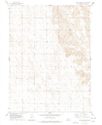
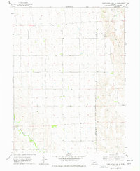
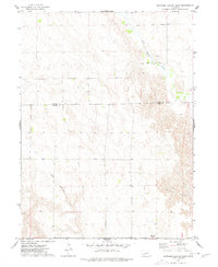
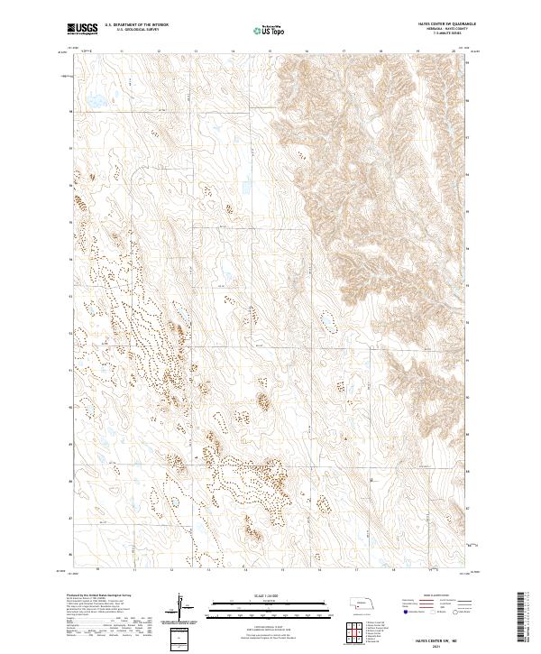
1974 Map of Hayes Center SW
USGS Topo · Published 1977This historical map portrays the area of Hayes Center SW in 1974, primarily covering Hayes County. Featuring a scale of 1:24000, this map provides a highly detailed snapshot of the terrain, roads, buildings, counties, and historical landmarks in the Hayes Center SW region at the time. Published in 1977, it is the sole known edition of this map.
Find a feature on this map
2 named features on this map. Tap any name to fly to it.
Don’t see what you’re looking for? This feature index may not catch every label — zoom into the map to look around manually.
Map Details
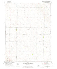
Editions of this 1974 Hayes Center SW Map
This is the sole edition of this map. No revisions or reprints were ever made.
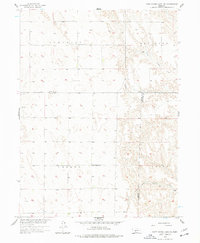
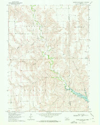
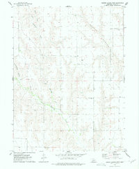
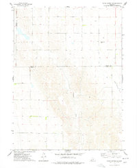
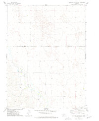
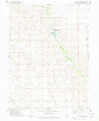
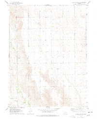
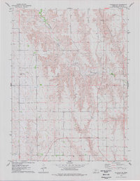
Historical Maps of Hayes County Through Time
26 maps found
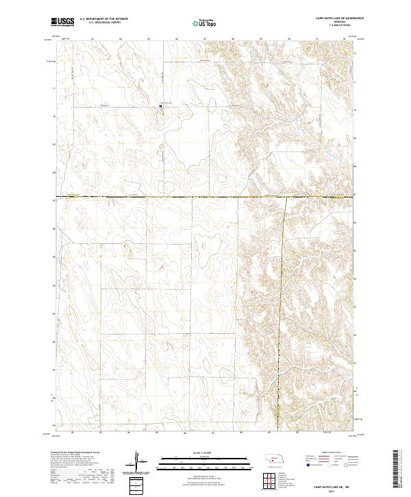
1956 Camp Hayes Lake NE
Hayes County, NE
1970 Burger Canyon East
Hayes County, NE
1973 Burger Canyon West
Hayes County, NE
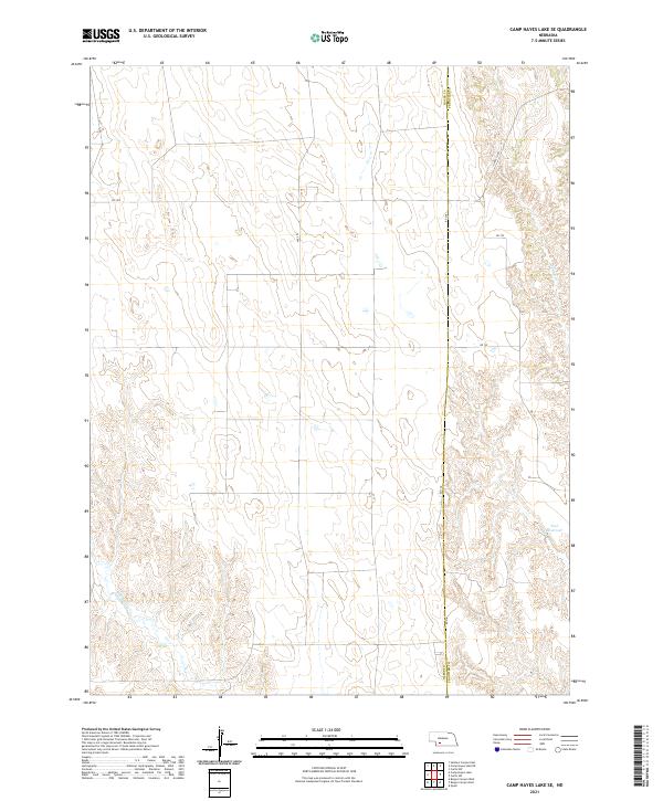
1973 Camp Hayes Lake SE
Hayes County, NE
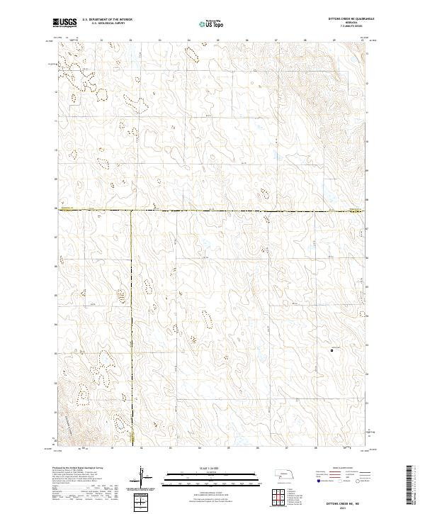
1973 Dittons Creek NE
Hayes County, NE
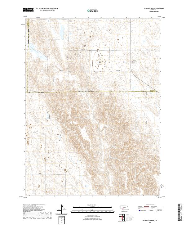
1973 Hayes Center NW
Hayes County, NE
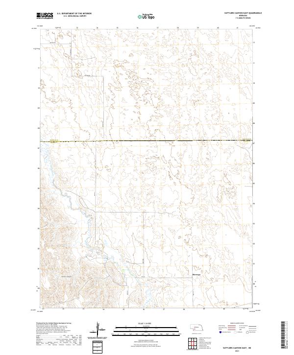
1973 Suttlers Canyon East
Hayes County, NE
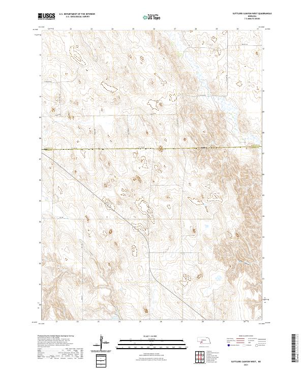
1973 Suttlers Canyon West
Hayes County, NE
1974 Camp Hayes Lake
Hayes County, NE
1974 Dittons Creek SE
Hayes County, NE
1974 Hayes Center SW
Hayes County, NE
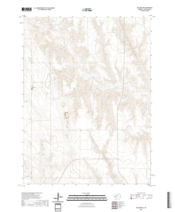
1974 Palisade NE
Hayes County, NE
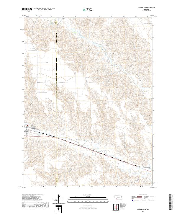
1974 Wauneta East
Hayes County, NE
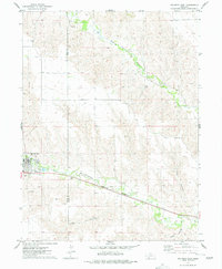
2021 Burger Canyon East
Hayes County, NE
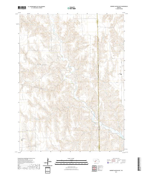
2021 Burger Canyon West
Hayes County, NE
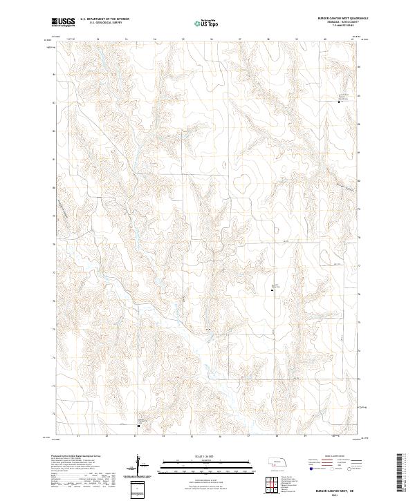
2021 Camp Hayes Lake
Hayes County, NE
2021 Camp Hayes Lake NE
Hayes County, NE
2021 Camp Hayes Lake SE
Hayes County, NE
2021 Dittons Creek NE
Hayes County, NE

2021 Dittons Creek SE
Hayes County, NE
2021 Hayes Center NW
Hayes County, NE
2021 Hayes Center SW
Hayes County, NE
2021 Palisade NE
Hayes County, NE
2021 Suttlers Canyon East
Hayes County, NE
2021 Suttlers Canyon West
Hayes County, NE
2021 Wauneta East
Hayes County, NE