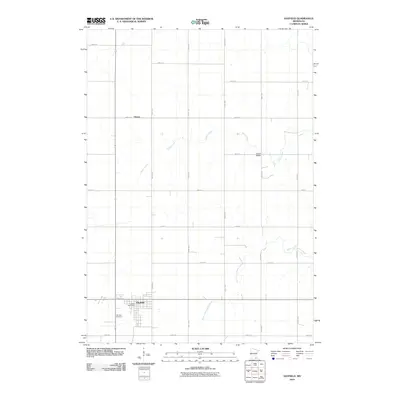
2010 Map of Hayfield
USGS Topo · Published 2010About this map
Hayfield serves as the primary settlement on this Dodge County landscape, situated where the local road grid converges in southern Minnesota. The town’s organized layout includes the Hayfield Post Office and the expansive Fairview Cemetery on its western edge. Outside the town limits, the landscape transitions into a vast agricultural grid defined by numbered routes like 700th St and 210th Ave. Waterways such as Salem Creek and the South Fork Zumbro River cut across this geometric precision, providing natural drainage for the surrounding farmlands. To the north, the small settlement of Vlasaty marks a quiet intersection along 680th St, reflecting the dispersed nature of rural life in this region during the early 21st century.
Find a feature on this map
20 named features on this map. Tap any name to fly to it.
Don’t see what you’re looking for? This feature index may not catch every label — zoom into the map to look around manually.
Map Details
Editions of this 2010 Hayfield Map
This is the sole edition of this map. No revisions or reprints were ever made.
Other maps of this area

1953 · Saint Paul
USGS Topo · 1:250,000

1954 · Mason City
USGS Topo · 1:250,000

1955 · High Forest
USGS Topo · 1:62,500

1957 · Mason City
USGS Topo · 1:250,000

1958 · Mason City
USGS Topo · 1:250,000

1959 · Saint Paul
USGS Topo · 1:250,000

1965 · Dodge Center
USGS Topo · 1:24,000

1965 · Claremont
USGS Topo · 1:24,000

1965 · Byron
USGS Topo · 1:24,000

1966 · Waltham
USGS Topo · 1:24,000